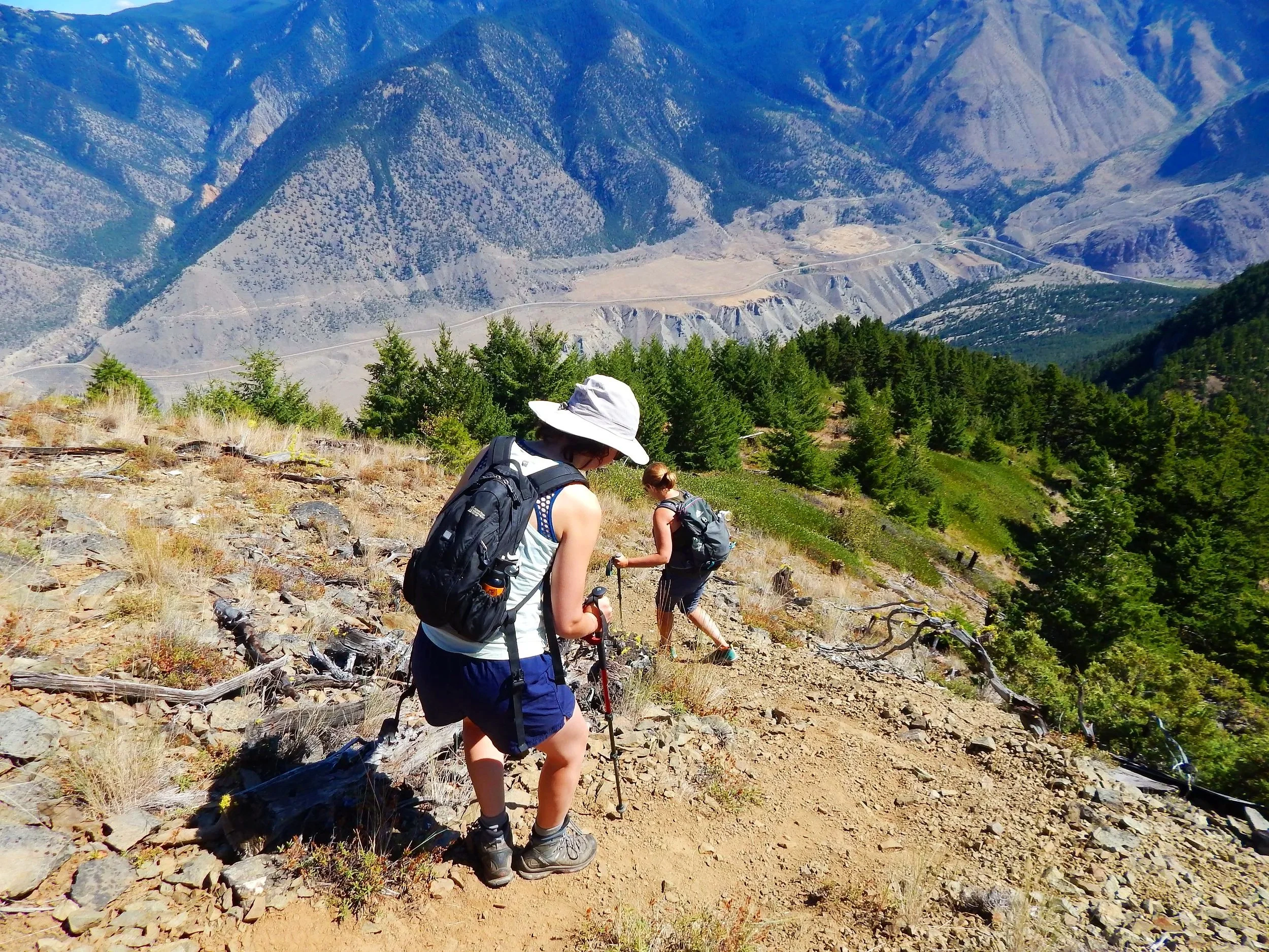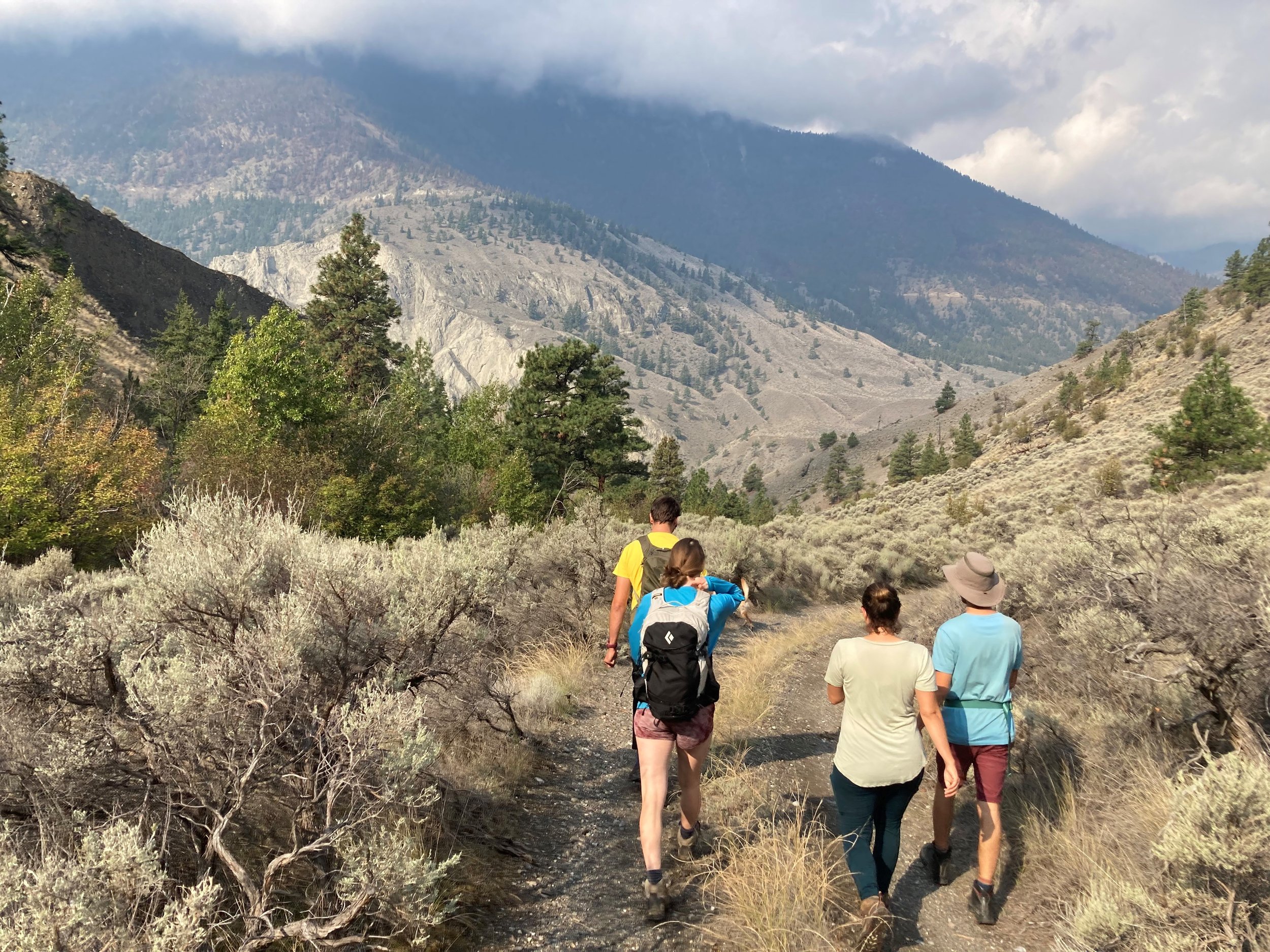
Trails & Hiking
Hiking Areas
Red Rock
Campground Trails
Spawning Channels
Joffre Provincial Park
Seton Ridge
Peanut Lake Trail
The Lillooet & District Chamber of Commerce publishes a map of hiking trails in Lillooet and the area. Copies of the map are available at local businesses and the Visitor Information Centre. Hiking Guide information below.
Mountain Biking
Road biking as well as mountain biking are becoming increasingly popular around Lillooet. The rugged mountains are ideal for cross country and downhill while the scenic and quiet backroads and highways are perfect for road bikers.
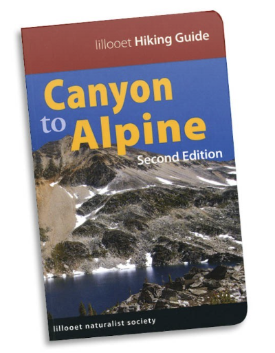
Local Area Hiking Guide
Canyon to Alpine
Lillooet Hiking Guide Second Edition
Published by the Lillooet Naturalist Society
This guide covers 32 day hikes that take you from the arid interior drylands of the Fraser Canyon to the high alpine. The revised and expanded second edition includes:
trail and access information with 12 new hikes
route maps and topographical information
over 100 new colour photos showcasing each hike
expanded natural history section
Available for purchase at several Lillooet businesses including the Community Connect HUB (633 Main St), Lillooet Brewery (104 Main St), Lillooet Museum and Visitor Centre (790 Main St), Fort Berens Winery (1881 Highway 99).
Out of town orders: lillooetns@gmail.com